I don't know if I am on the right forum, please tell me if this should be posted somewhere else.
I am playing a geo-location based game and the game uses geonames supplied data to determine whether the user selected location is on land or on water.
For some locations, where it's actually land and I have been walking on it, it seems like the geonames service reports the location as water. Is there a way to report these locations as "land"?
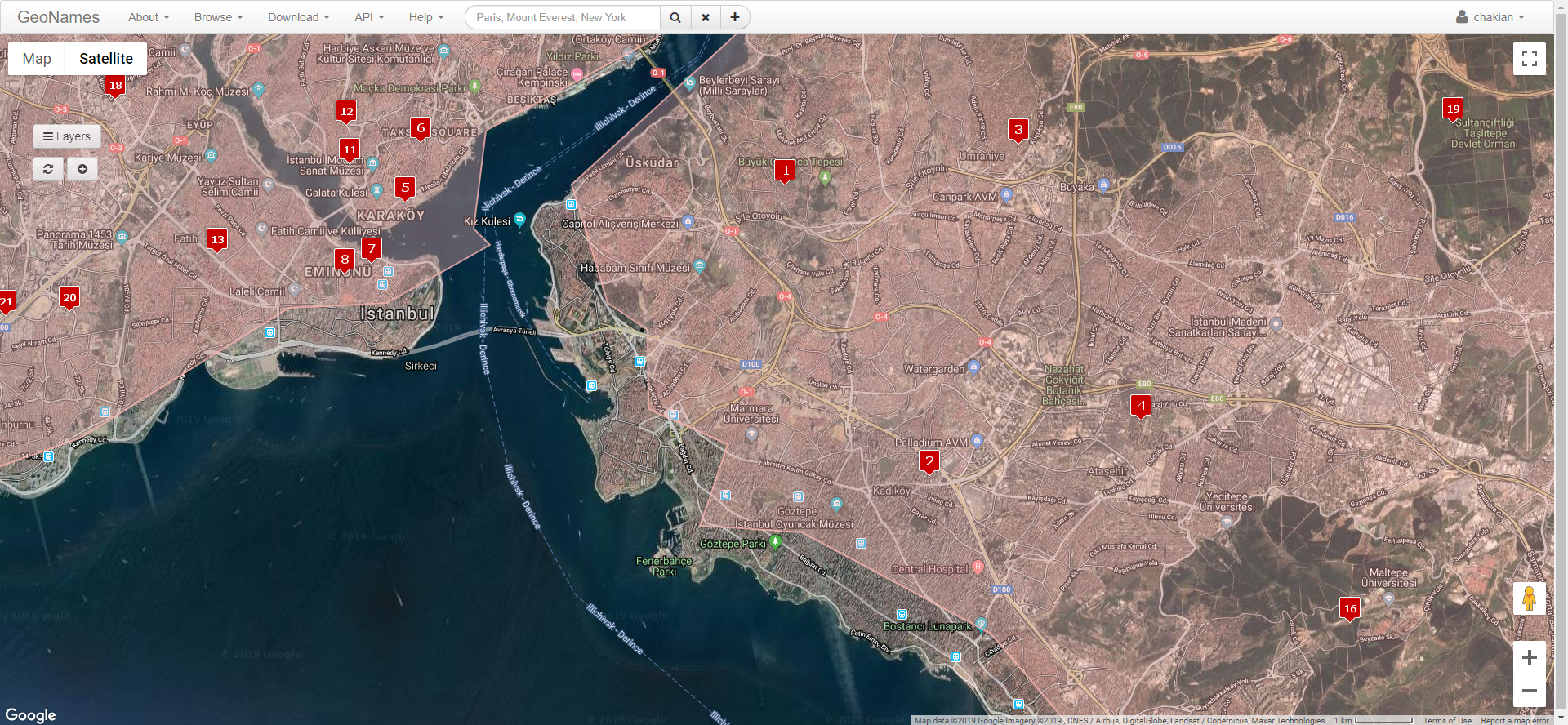
I have found the polygon that defines the land borders in my city. But I couldn't figure a way out to update the polygon, there's only basic information that can be edited.
Thanks for reporting. The boundaries are not editable. We have searched for better data. The update is in progress. It will take some days till it is visible on the api.
Attached a screenshot of how it will look with the update.


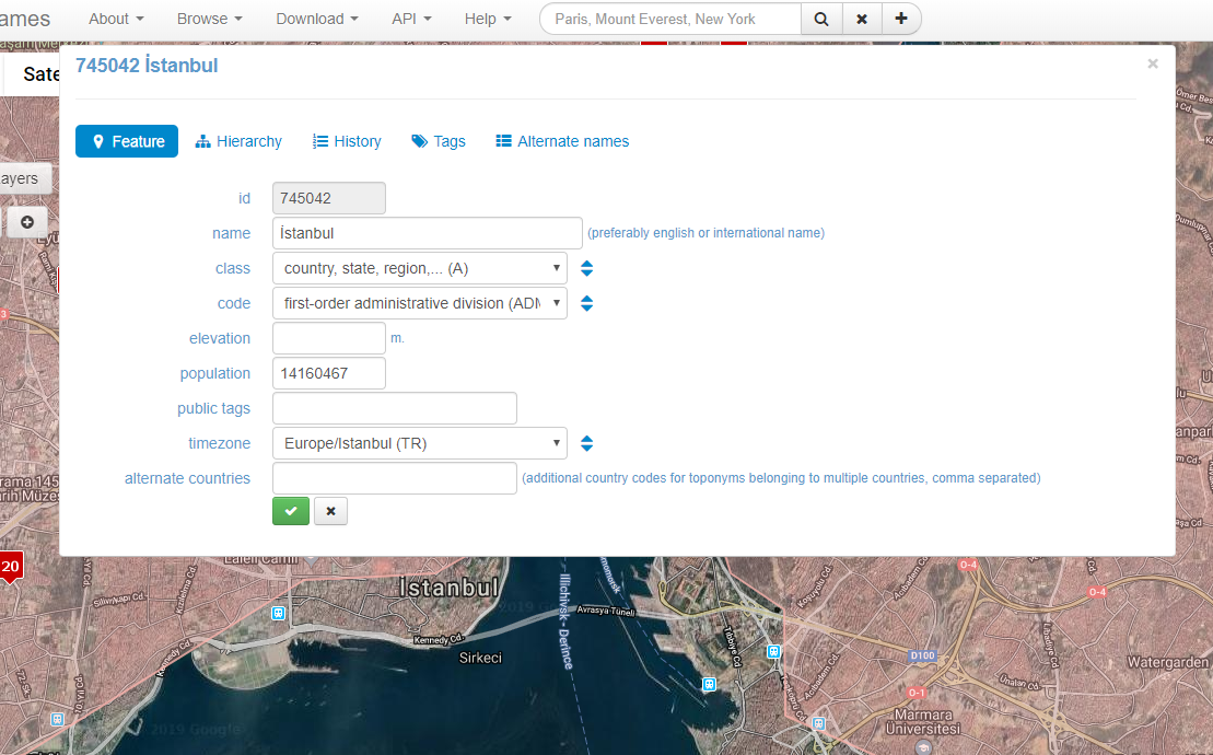
![[Thumb - Screenshot_2019-07-16 GeoNames Shape Editor.png]](/gforum/upload/2019/7/16/be55f20775889860a650474685bc043b_4.png_thumb)